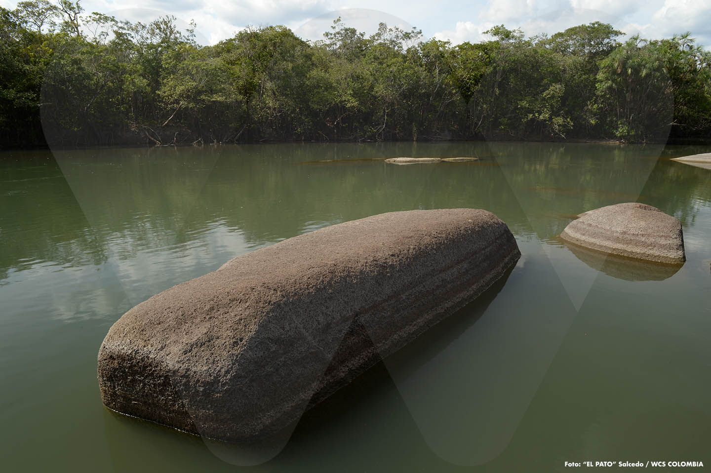
 Caño Peinilla
From here, at a distance of no more than three hundred meters, this stream, known as Peinilla, gives its life to the Tomo River. Both, already merged into one, flow much farther downstream into the great Orinoco. Caño Peinilla is one of the many watercourses that nourish the hydrobiological richness of El Tuparro National Natural Park.
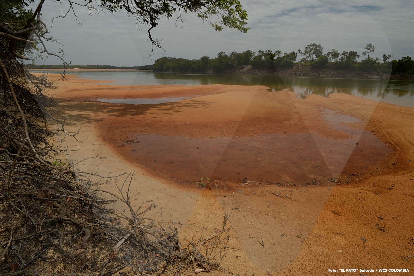 Reddish Sands
These are lands of the Vichada. Generally, the soils in this department display a very distinctive characteristic: a reddish color. This chromatic condition also applies to the sands of many of the waterways that wander through the savannas and forests in these areas. Here, the reddish beaches of the Tomo River.
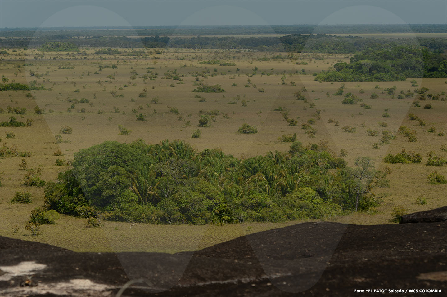 Savannas and Forests
Among its many natural values, El Tuparro safeguards landscapes that blend endless savannas—very typical of the Orinoco Region—with forests that seem to emerge from nowhere. Locally, some call those forests “matas de monte.” This view, looking westward, is a gift shared with us by the so-called Cerro Peinilla from its highest point.
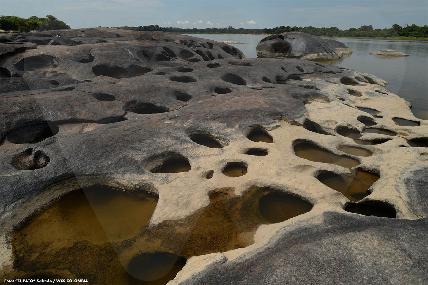 The Traces of Water
When the dry season arrives in the Orinoco Region, the water levels in the streams begin to drop. This phenomenon also affects the Orinoco River itself, a vast river that here reveals the marks it has carved into a rocky patch of its bed. The perforated rock mass we see in this photo belongs to the Guahibo Rapids.
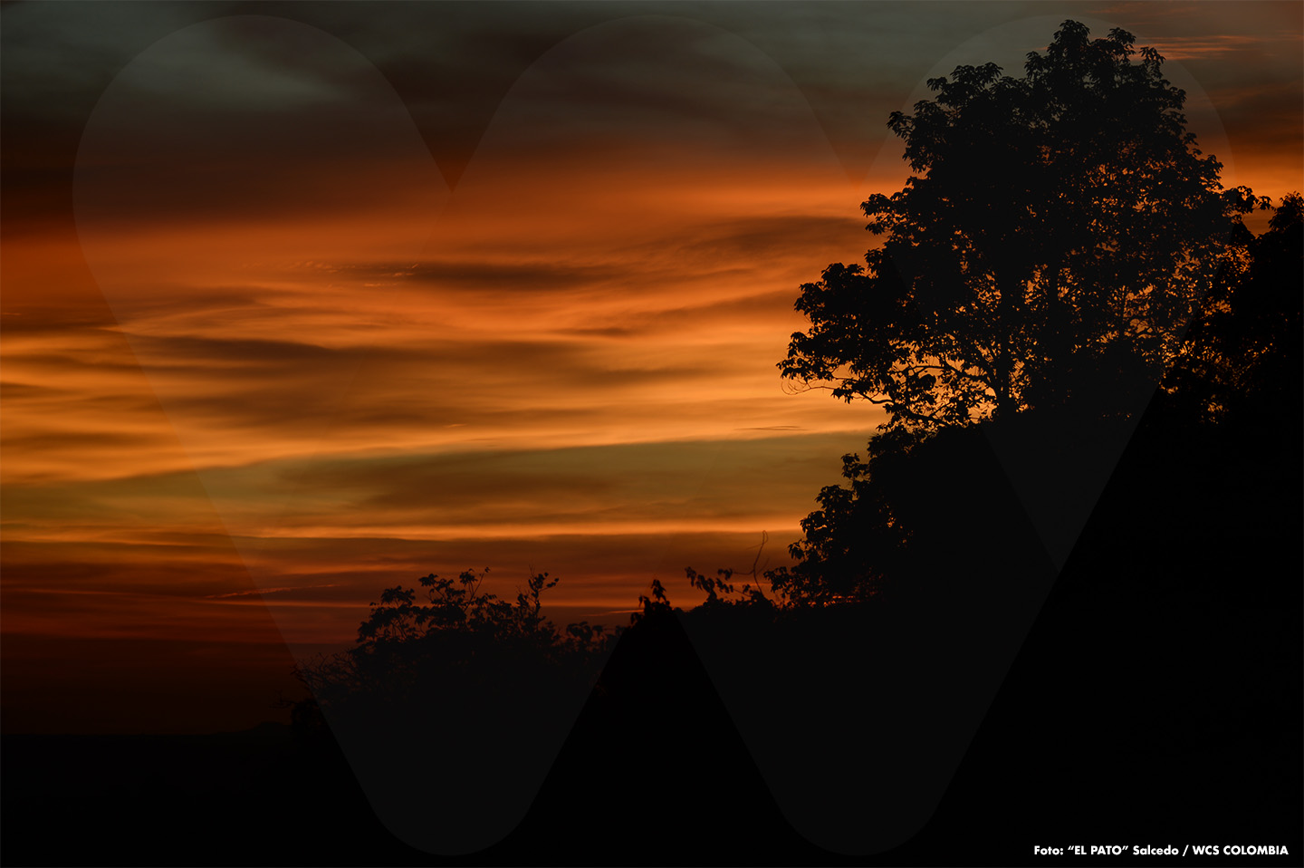 The Colors of the Evening
Sunsets like this are nothing unusual in El Tuparro National Natural Park. In fact, what’s truly strange is when the days don’t end this way. Day after day, as evening falls, the sky—together with the clouds and the sun—seems to paint itself with surprising palettes of color.
Traslated with AI support